The brief
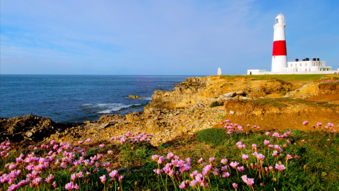
The Vale of Glamorgan Council needed a solution that would provide a connectivity and opportunity map that is robust, reasonable and defensible, and can be used to inform future development proposals, strategic planning and local BAP processes. Thomson was commissioned to map 34,000ha of existing biodiversity resources within the region and to identify future habitat connectivity.
What we did
- Working with the Vale of Glamorgan Council’s ecologist we developed a range of ideas and methods to ensure successful completion of the project.
- Using WAG 2009 Aerial Photography and OS Mastermap, we refined the boundaries of the existing Site of Importance for Nature Conservation (SINC) dataset to ensure they accurately represented the extent of the habitat and the boundary. We then snapped the boundary to OS Mastermap where appropriate.
- We have added value to this dataset by extracting and categorising information from the survey proformas into fields in the attribute table.
- We collated all available existing biodiversity information for the Vale e.g. SSSI boundaries, Countryside Council for Wales (CCW) Phase I and II, Ancient Woodland Inventory, Protected Species and Highway Verge records to identify and gain a good understanding of the existing ecological network.
- Advanced GIS analysis techniques have been employed to robustly assess the distribution, connectivity and quality of the existing sites.
- Using our advanced aerial photography interpretation skills, we identified a wide variety of areas and habitats as potential ecological opportunities and connections. These included areas such as possible existing SINC extensions, SSSI buffer zones or areas at risk and more linear connecting features such as hedgerows, rivers, roadside verges and field margins.
- We undertook ground-truthing field surveys, using standard methodology to confirm that the connectivity mapping was representative and opportunities for enhancement were realistic.
Recommendations and outcomes
The project was completed at the end of March 2012 and the primary output was a GIS dataset of polygons of potential habitat connections and opportunities. This allows easy interrogation of the data to highlight areas of differing habitat types, functions and priorities.
-
The Vale of Glamorgan CouncilLocation
-
Wales
Services offeredOur work here will inform key objectives, enabling the strategic targeting of resources to achieve maximum conservation benefit - both in terms of individual site conservation and local and regional connectivity.Thomson project manager, biodiversity geospatial mapping -
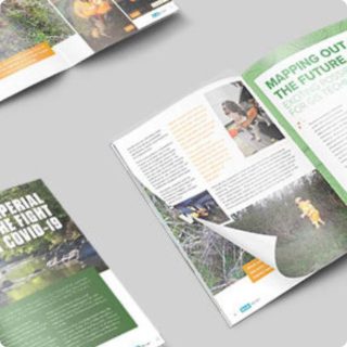
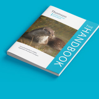
Our other projects


We cover all aspects of environmental consultation – from smaller surveys through to strategic projects.

At Thomson, we strive to deliver a pragmatic and innovative approach to environmental compliance.
Working in partnership with our clients, our team of environmental specialists ensures objectives are met, with maximum efficiency for our clients, and minimal impact on the natural world.