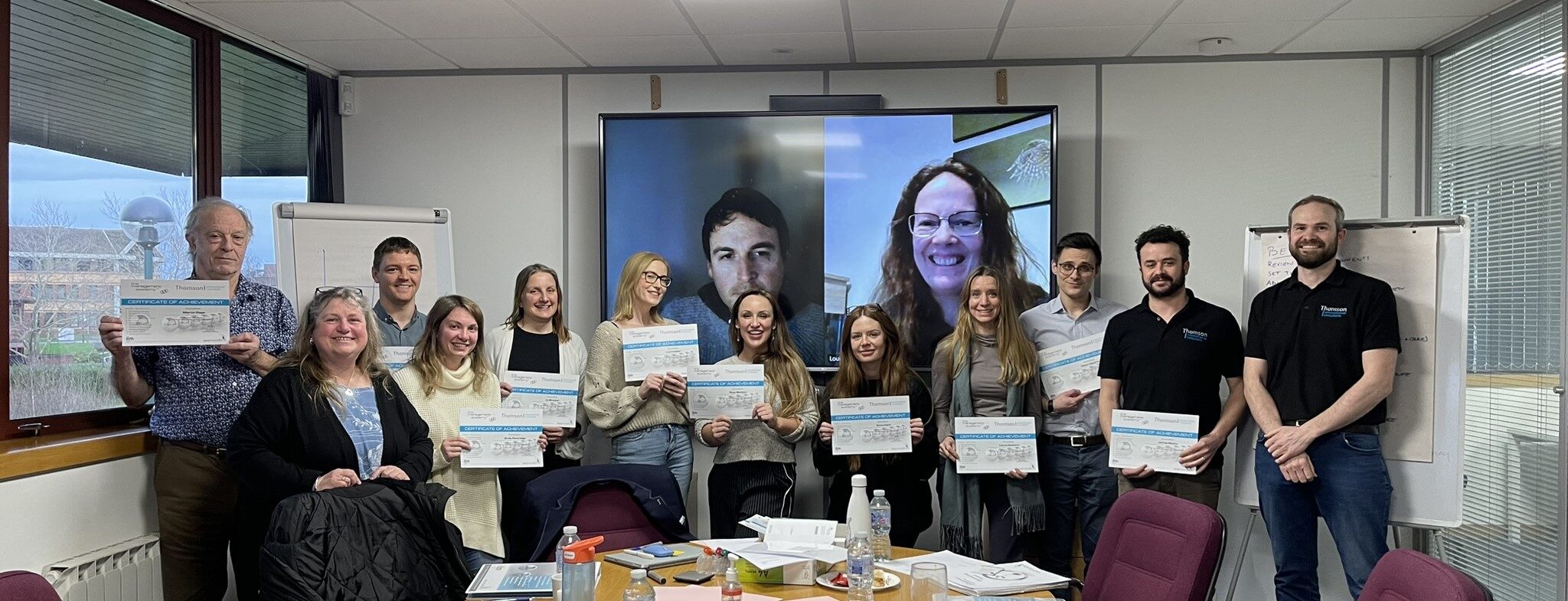
We recently worked with our archaeology partner, Wessex Archaeology, on a site in the South West of England.
Wessex Archaeology had carried out an archaeological dig of the site ahead of the area being developed for a housing project. The archaeology survey had revealed interesting features including what appears to be a palisaded Iron Age enclosure with a couple of round houses and numerous posted structures as well as medieval and post-medieval field boundaries.
Once the dig had been completed, to ensure that all the archaeology had been found, an aerial photo was taken using a camera mounted on a pole. This was to see if there were any features visible from above which could suggest that there might be more archaeology underground.
Interestingly, the soil on the site was particularly light in colour, which unfortunately created glare on the image making it hard to interpret. So Wessex Archaeology commissioned Thomson Ecology to carry out a UAV (Unmanned Aerial Vehicle) flight to take some aerial images from directly above.
Our pilot flew the UAV at 100m and captured a series of images. Once back in the office, we used specialist software to stitch the images together to create a complete view of the site. This provided Wessex Archaeology with an accurate record to check whether all the archaeology had been found.